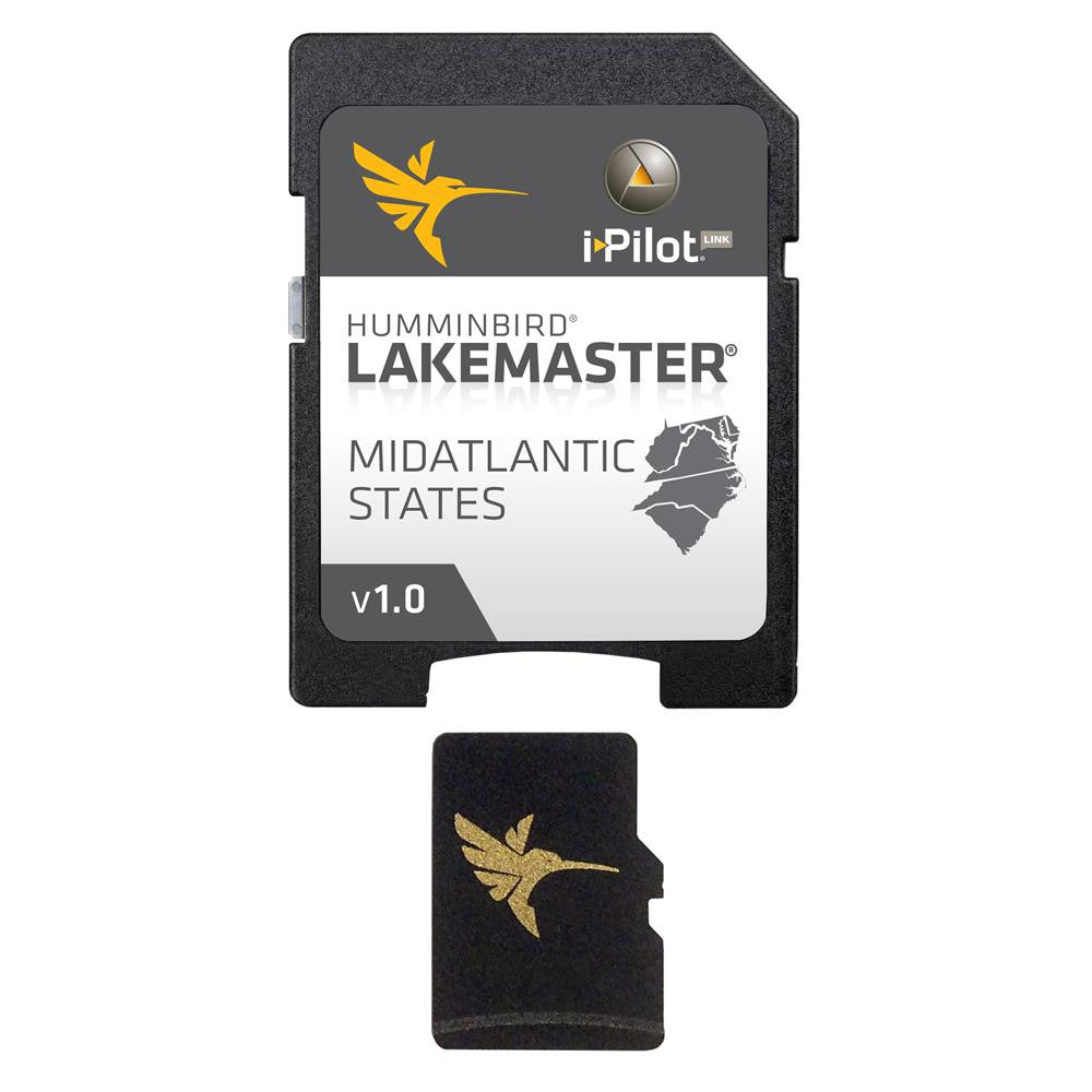
Humminbird LakeMaster Chart - MidAtlantic States - MicroSD-SD
LakeMaster Chart - MidAtlantic States - MicroSD/SD
The Humminbird LakeMaster MidAtlantic Edition, Version 1 Map Card covers Delaware, Maryland, North Carolina, South Carolina, Virgina and West Virgina.
The MidAtlantic Version 1 map card is i-Pilot® Link compatible.
+100 Lakes, Ponds and Rivers and +30 High Definition surveyed lakes and 11 Lakemaster® High Defninition surveyed lakes.
See our Lake List (Quick Guide)for detailed information.
Product : HUMMINBIRD LAKEMASTER CHART MID ATLANTIC MICROSD/SD
Manufacturer : HUMMINBIRD
Manufacturer Part No : 600043-2
UPC : 082324046612


