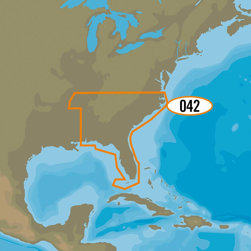
C-MAP MAX NA-M042-SD US Lakes - Southeast SD Format
MAX NA-M042/SD US Lakes - Southeast SD Format
C-MAPs extensive freshwater database offers lake detail for nearly 13,000 lakes and also includes:
Product : C-MAP MAX US LAKES - SOUTHEAST SD FORMAT
Manufacturer : C-MAP
Manufacturer Part No : NA-M042/SD
C-MAPs extensive freshwater database offers lake detail for nearly 13,000 lakes and also includes:
- 2,000 high definition lakes (better than 3 foot contours)
- Current state regulations (creel and bag limits)
- Current state records
- FHS Lake profile information (bottom type, shoreline, size, vegetation, etc)
- Fish ID images of popular species found on each lake
- Current waterfowl regulations
- Waterfowl ID images of popular species found in each state
- ActiveCaptain
Product : C-MAP MAX US LAKES - SOUTHEAST SD FORMAT
Manufacturer : C-MAP
Manufacturer Part No : NA-M042/SD


